The Penobscot 3D
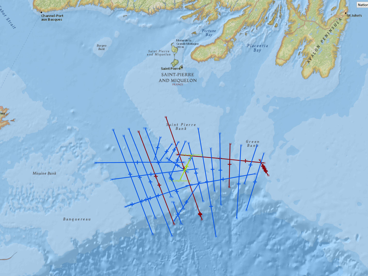
Penobscot is a small (87 km2) public domain 3D in the Sable sub-basin, offshore Nova Scotia, Canada. The area is gas prone mostly from Cretaceous and Jurassic clastic reservoirs.
More details on the project are located at Project Penobscot on the dGB TerraNubis website.
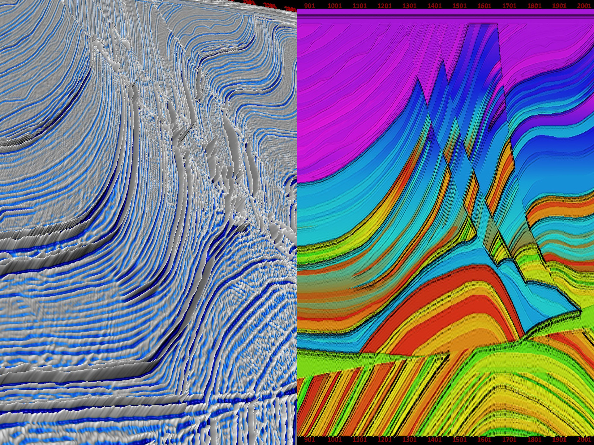
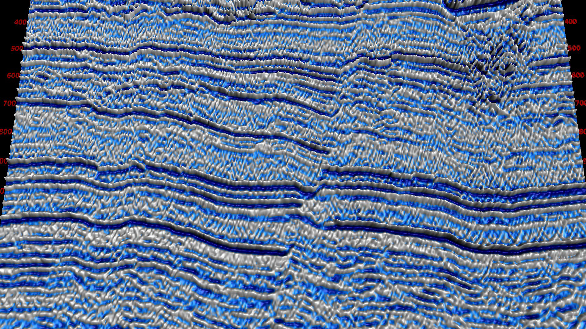
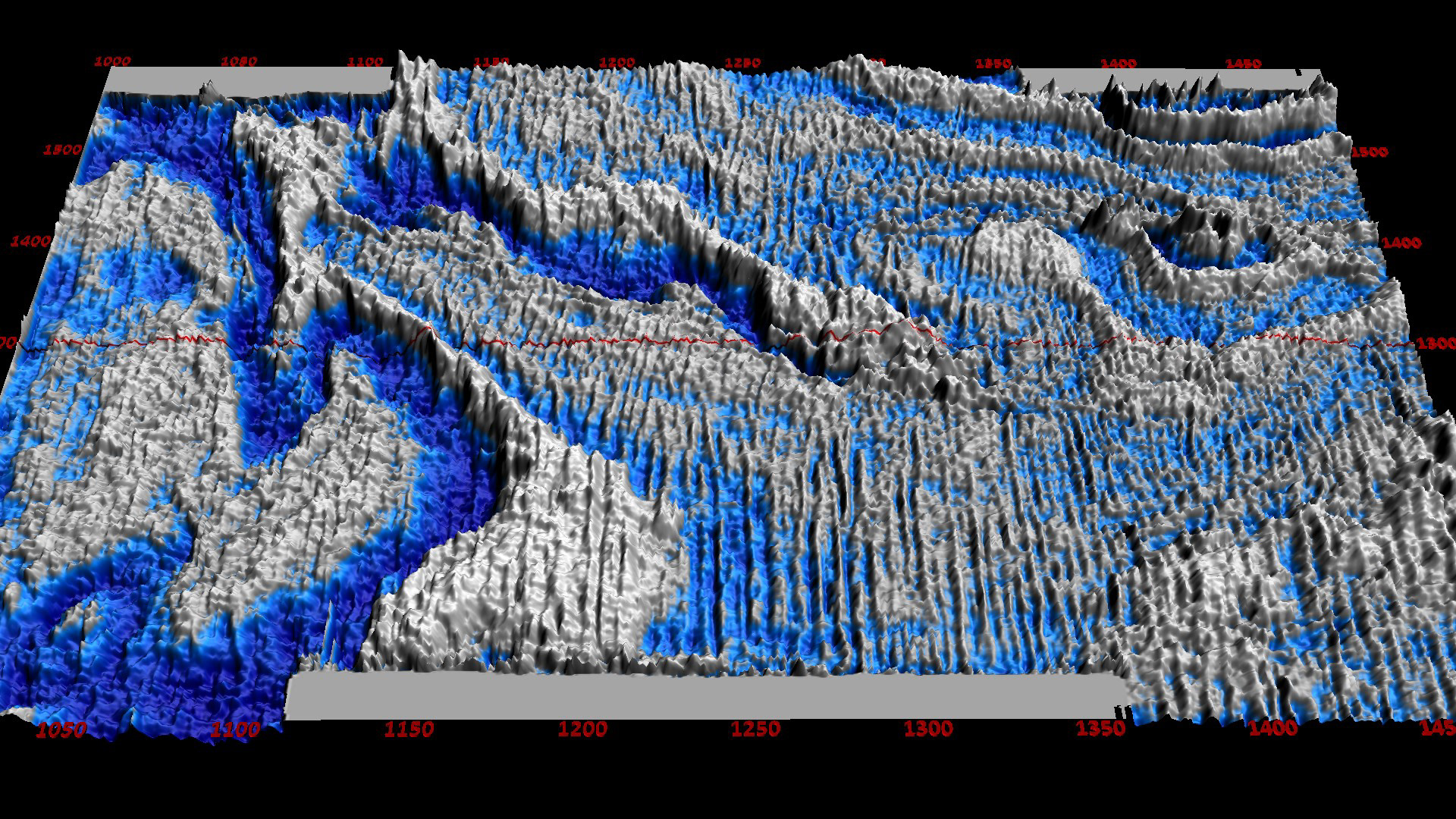
It is a small but interesting 3D because beyond its deep section hydrocarbon potential, the upper section is severely contaminated with noise. The noise was initially thought to be acquisition footprint. However, visualizing the upper section with Wavefield technology proves it to be migration artifacts spawned from acquisition footprints.
Data provided are the migrated final stack and a dip steered median filtered version provided by OpendTect.
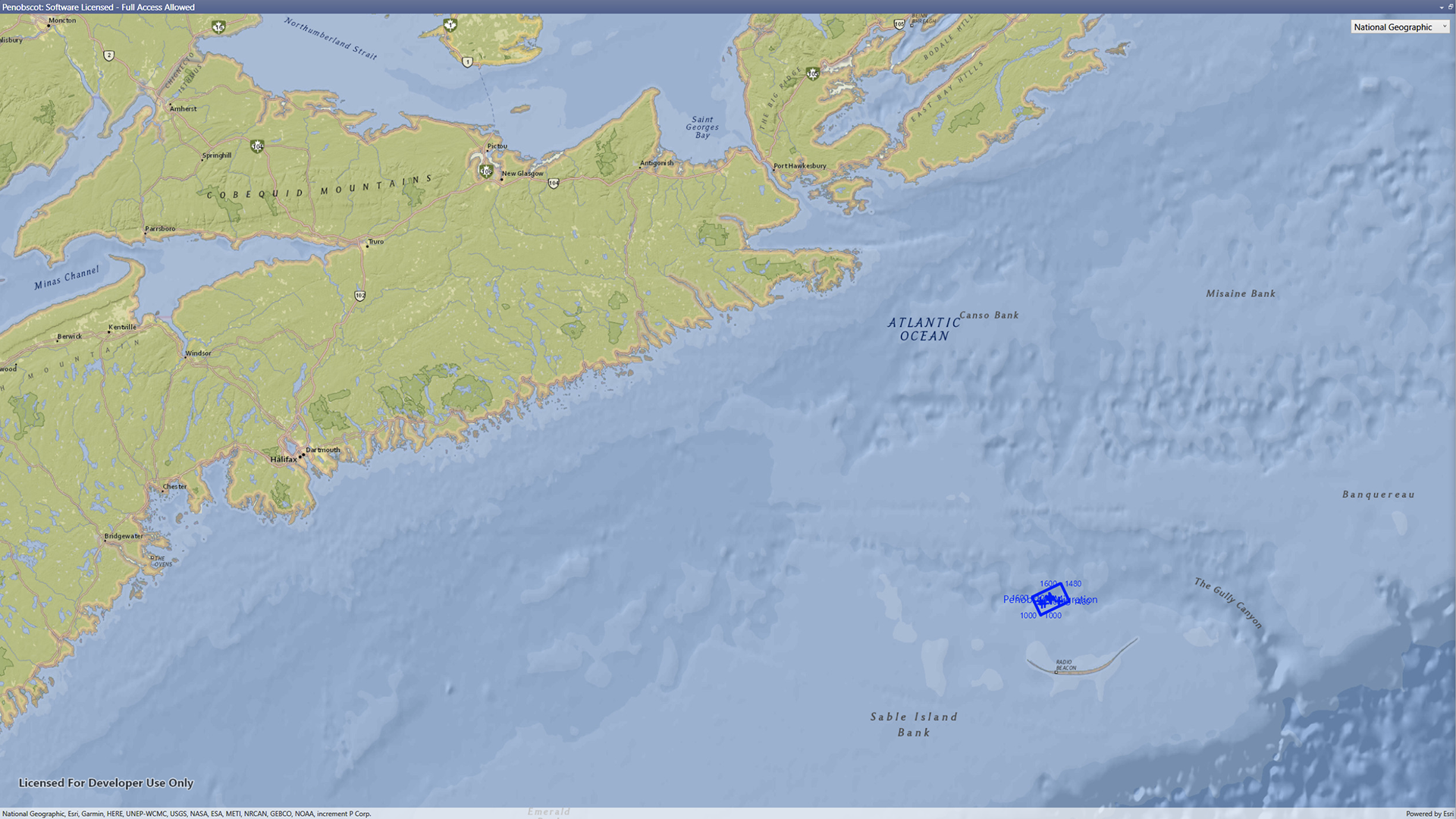
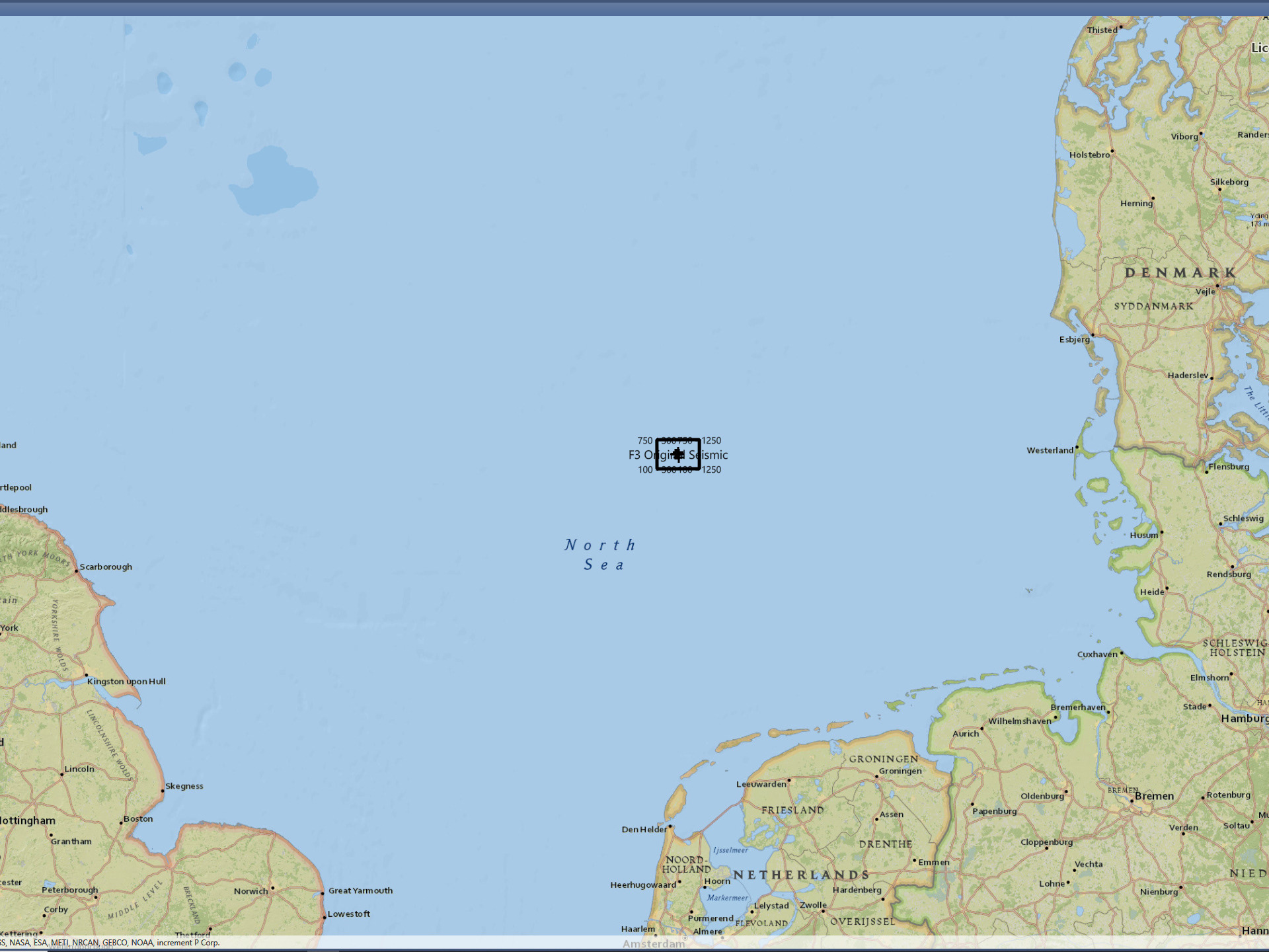
Penobscot is located offshore Sable Island.
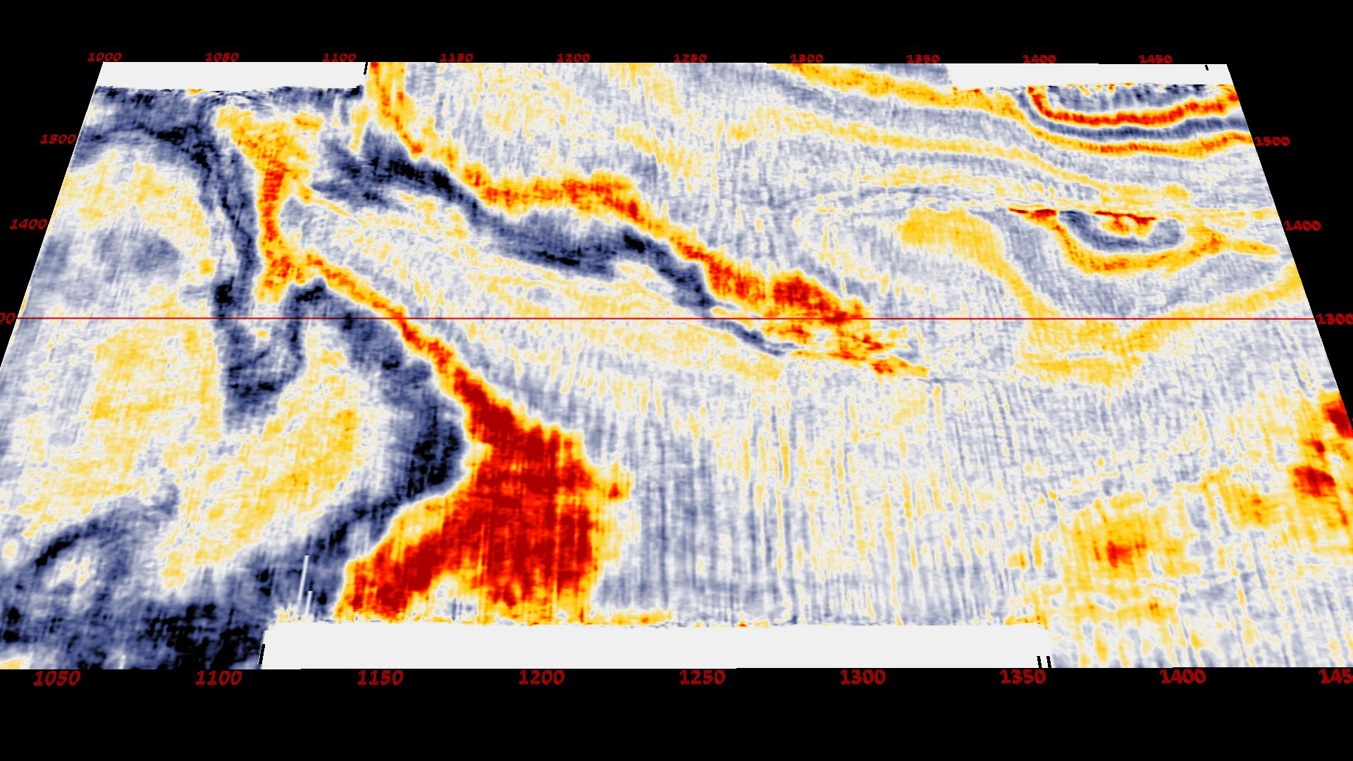
Typical Inline and Timeslice display from OpendTect
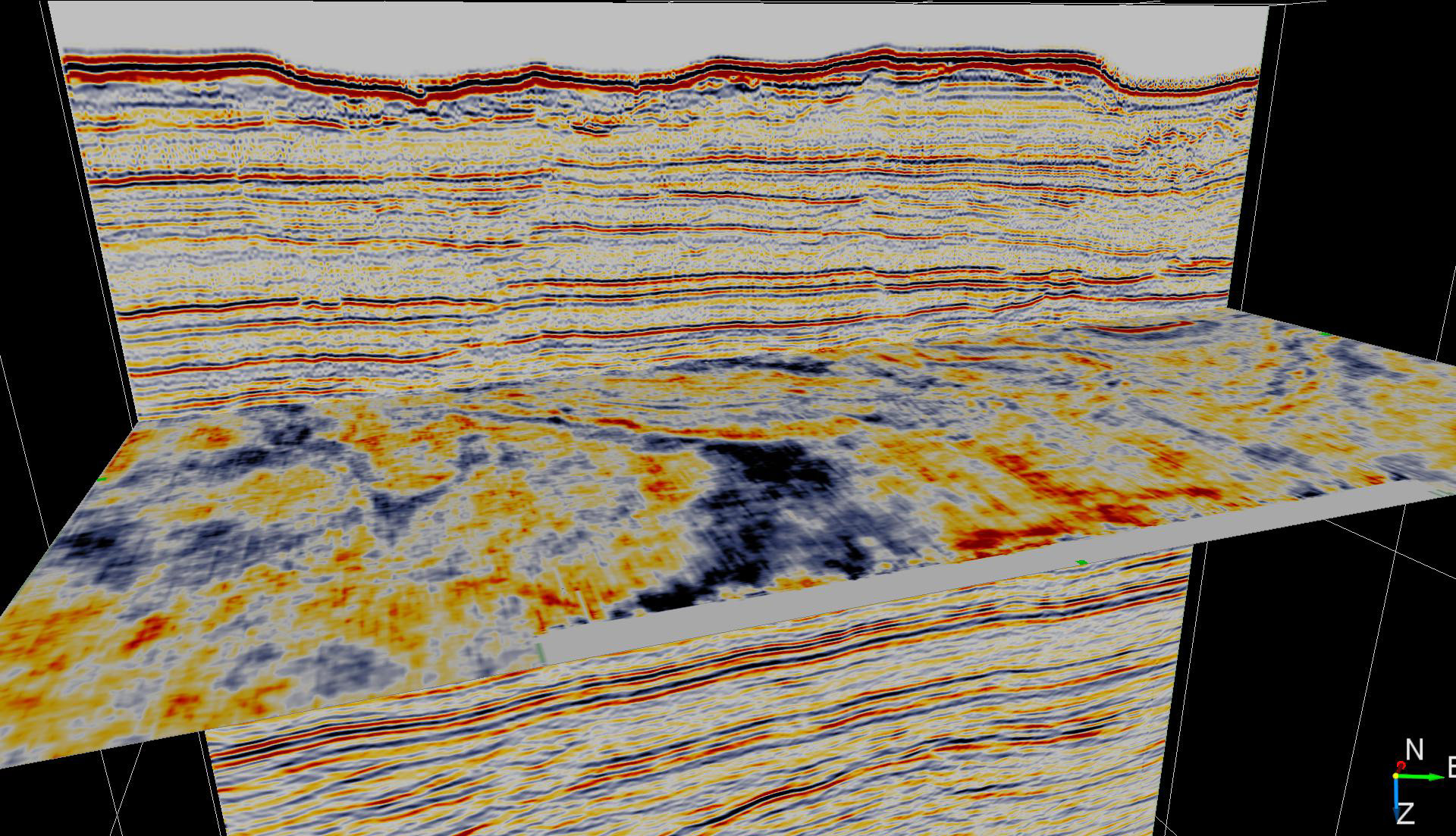
Inline display showing severe migration artifacts.
A more detailed view of the migration artifacts spawned from the acquisition footprints.
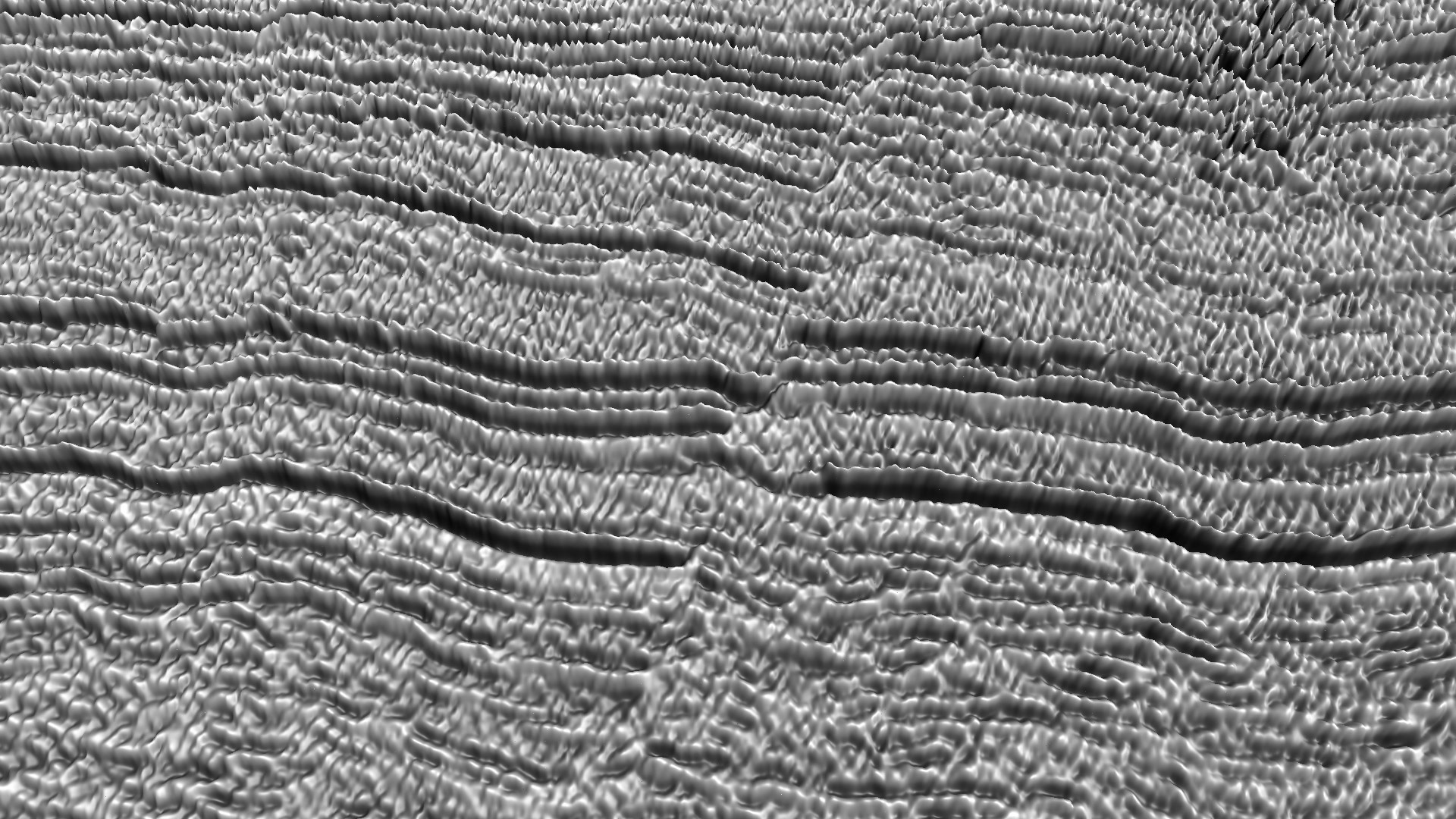
Timeslice showing what were thought to be acquisition footprints
Typical timeslice obscuring the true nature of the striations.
The Penobscot 3D seismic is in the public domain and is available under the Creative_Commons (CC BY-SA)_License. As one of our training projects, the project can be used by anyone registered in our course "An Introduction to Perceptive Seismic Interpretation".