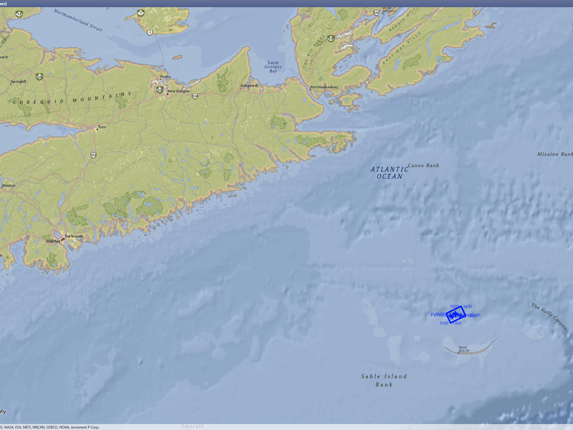
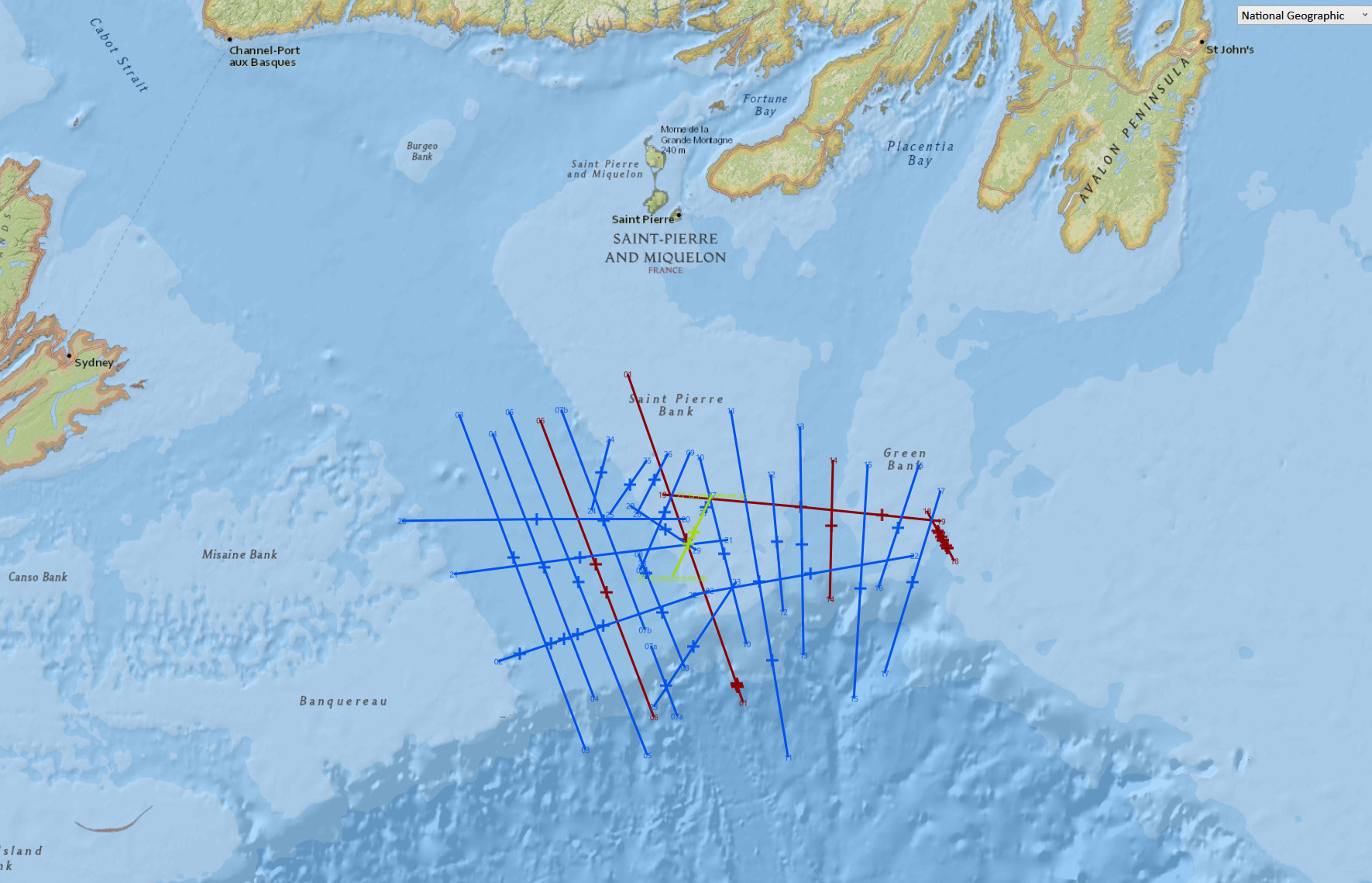
The Laurentian Sub Basin
Final Processed Seismic plus OpendTect Derived Versions.
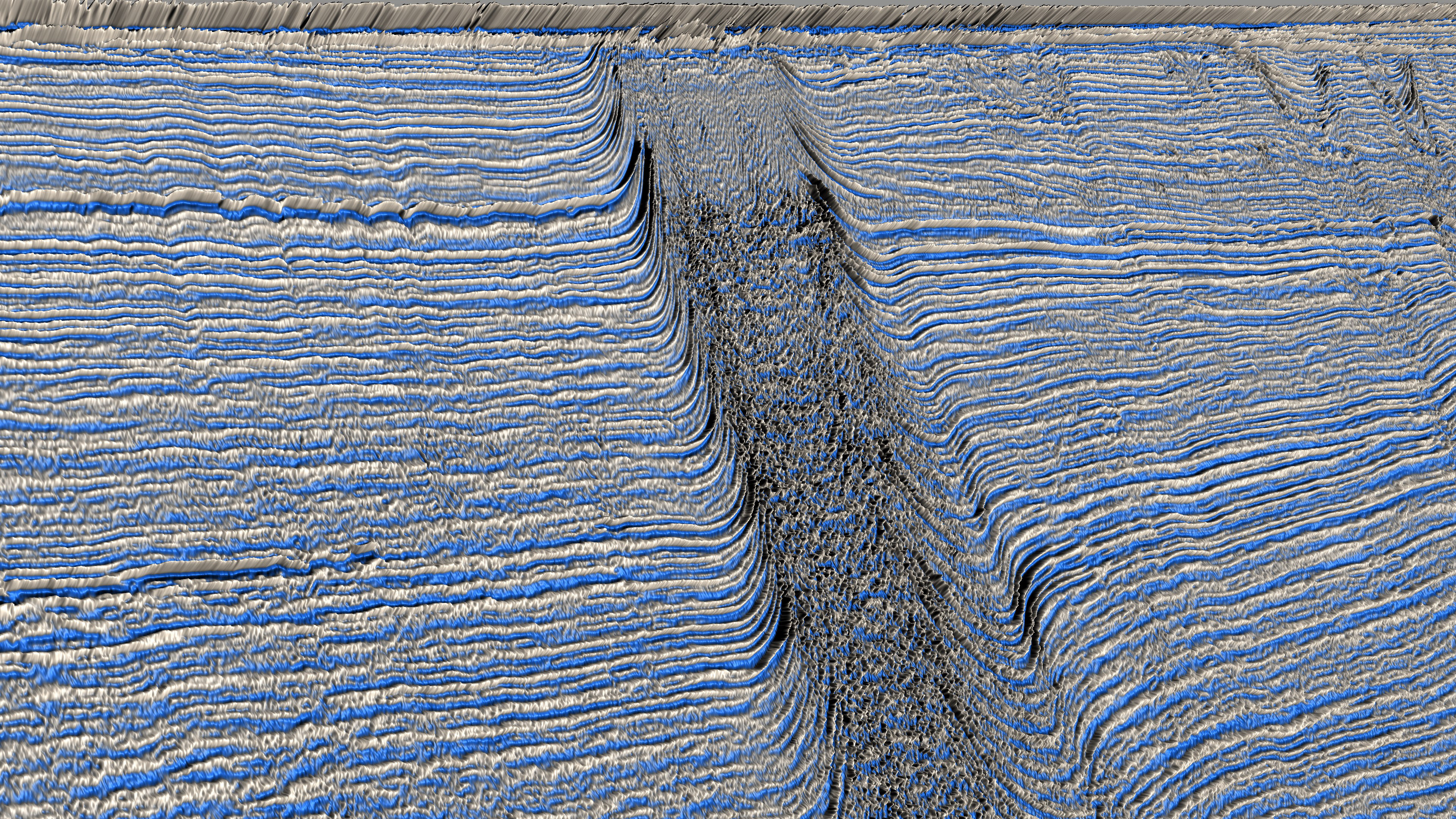
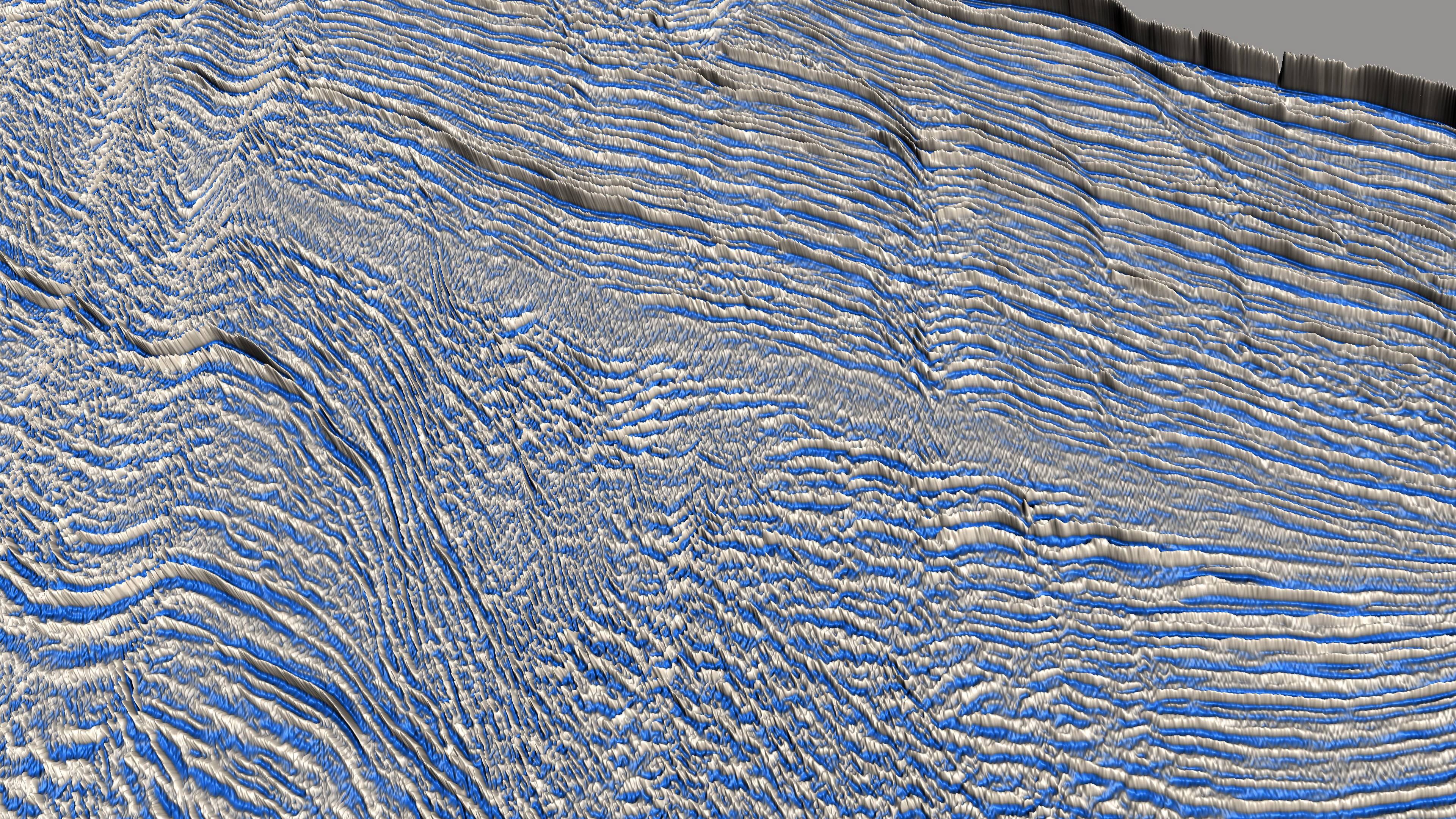
The Laurentian Basin lies on the continental shelf and slope directly south of Newfoundland.
Water depths in the Laurentian Channel vary from 100m to 450m and drop to over 3000m over the edge of the continental slope. Although it is considered to have significant hydrocarbon potential, to date the area is under explored with only a handful of wells being drilled.
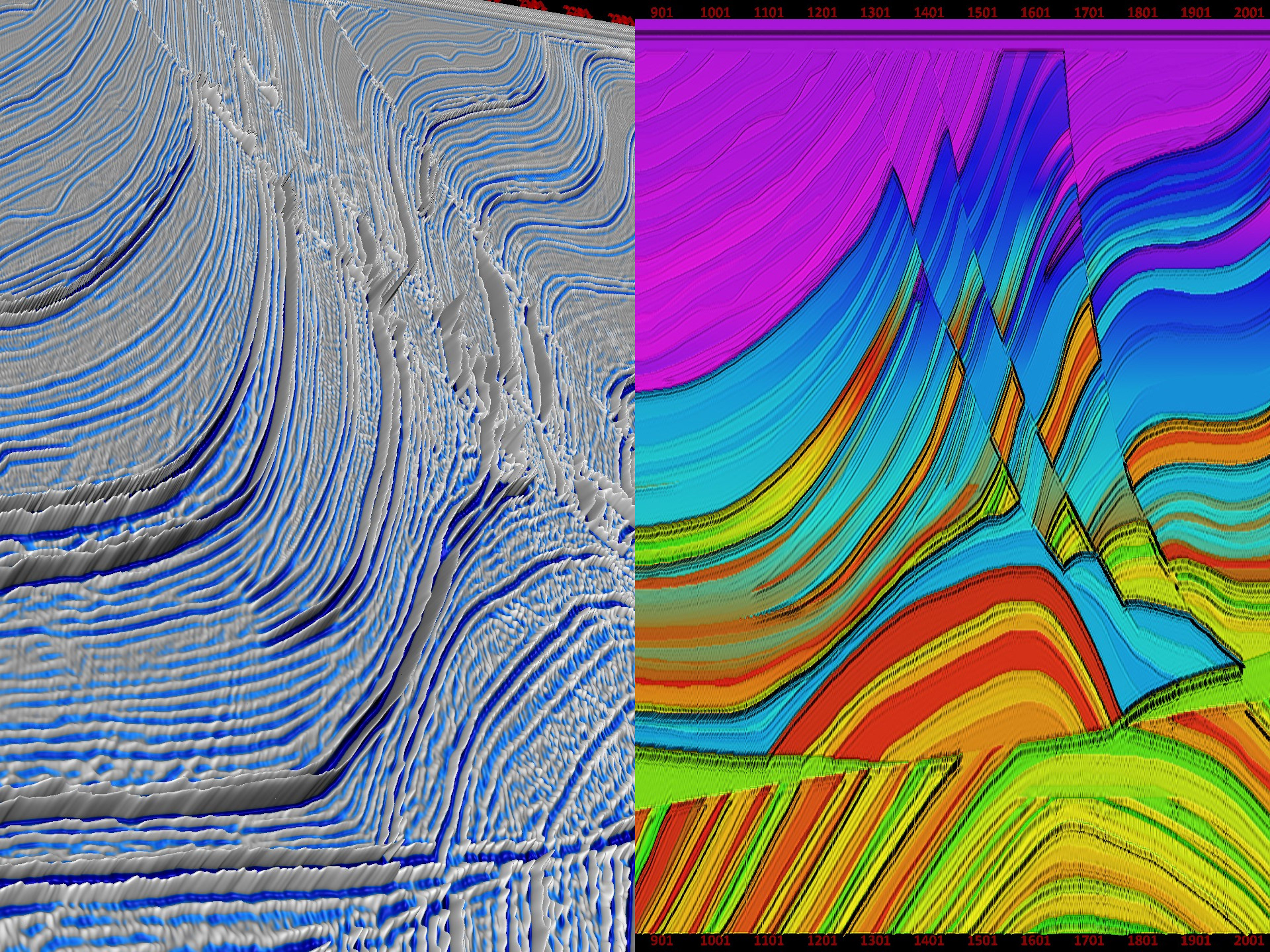
The data quality is generally good. There are three seismic versions available; the final migrated stack; a dip steered median filtered version; and a fault enhancement version, both produced by OpendTect.
More information on the project is located at Laurentian Basin Project on the dGB TerraNubis website.
The project also contains numerous supporting documents describing the tectonics and exploration potential for the area. See the “Support Documents” folder in the project folder.
The Laurentian Sub Basin
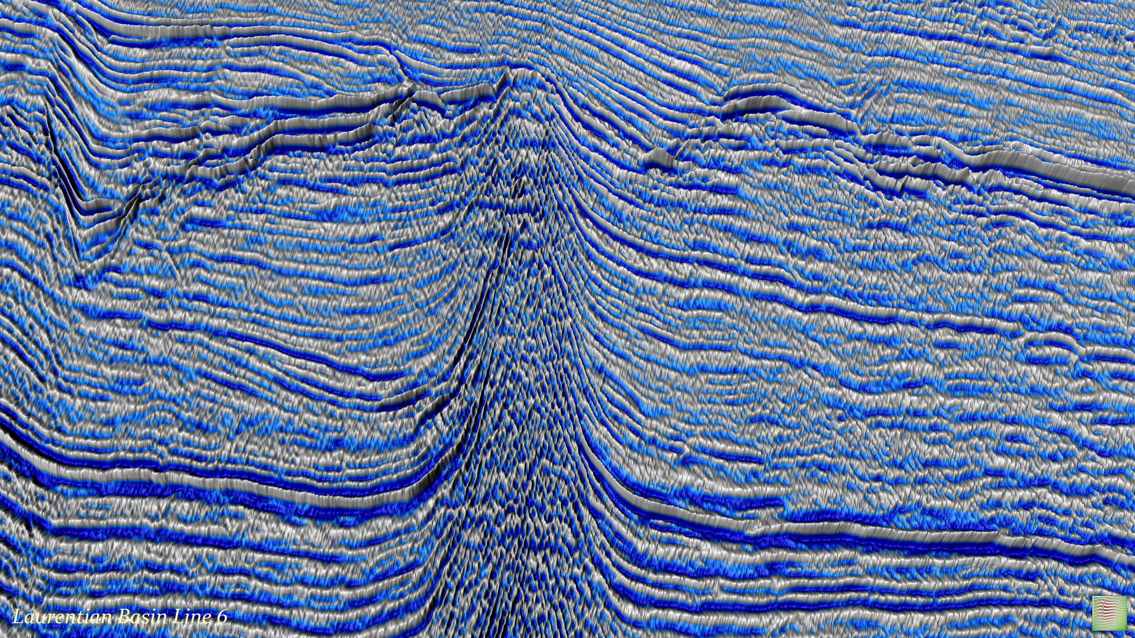
Line 6
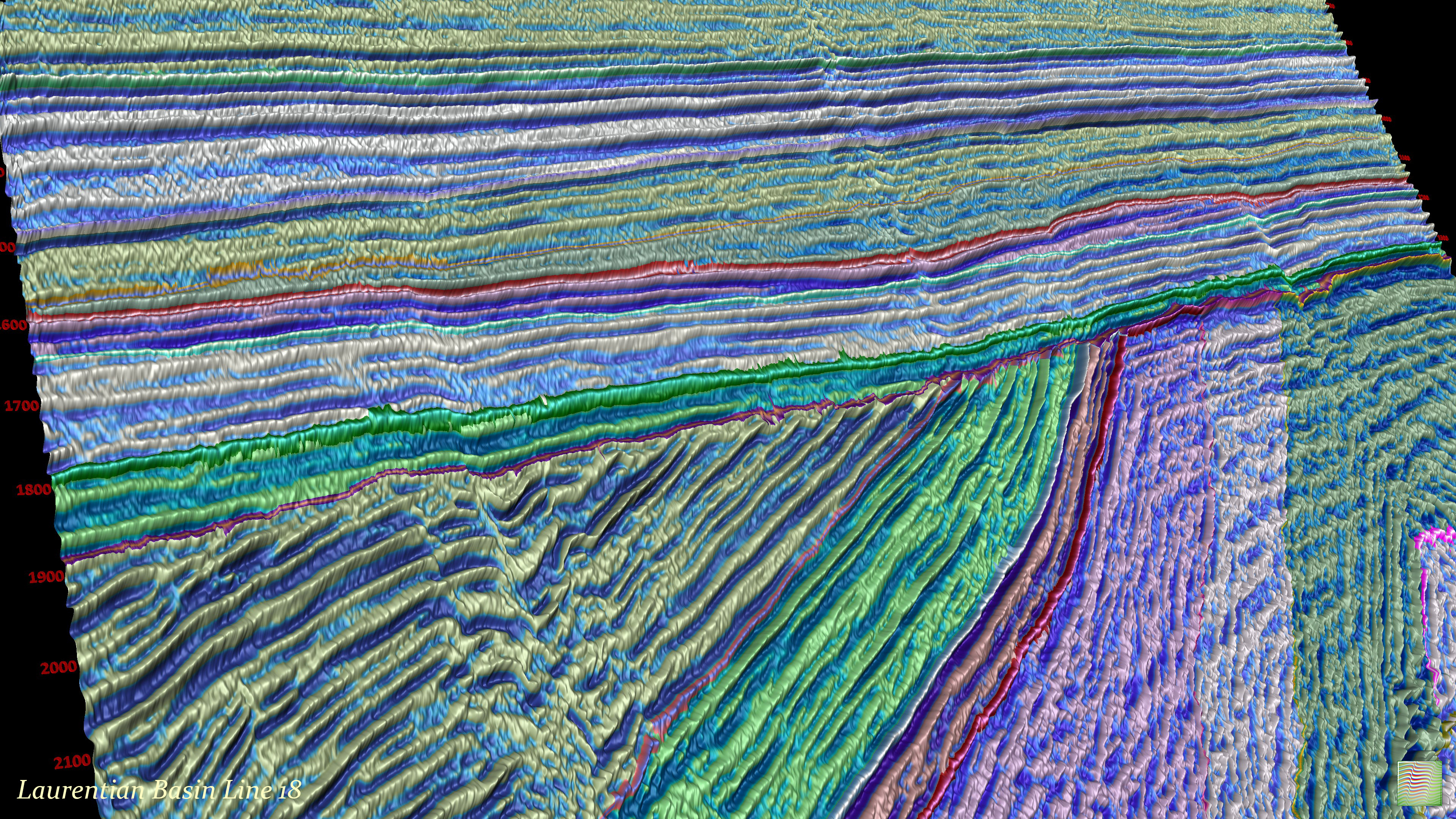
Line 18
Line 1
Line 21
Line 11
Original seismic data is copyright of the Department of Natural Resources Canada. All rights reserved. Distributed under the conditions specified in GEOGRATIS LICENCE AGREEMENT FOR UNRESTRICTED USE OF DIGITAL DATA, found at: Geogratis License.
Derived attributes from OpendTect are released under the Creative Commons license.
As one of our training projects, the project can be used by anyone registered in our course "An Introduction to Perceptive Seismic Interpretation".